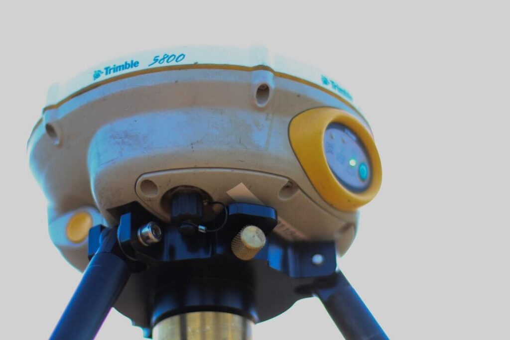
Not all GPS survey equipment is built for the same job. Accuracy requirements, terrain, and budget all push toward different equipment choices.
Key Factors to Evaluate
- Positional accuracy needed for your typical projects
- Real-time correction capability, RTK versus post-processed
- Durability for field conditions, heat, moisture, rough handling
- Compatibility with your existing data and software workflow
Accuracy Tiers
|
Tier
|
Typical Accuracy
|
Best For
|
|
Consumer-grade
|
Several meters
|
General navigation, not survey-grade work
|
|
Mapping-grade
|
Sub-meter to centimeter
|
GIS and preliminary site work
|
|
Survey-grade RTK
|
Centimeter-level
|
Construction staking, boundary work
|
Frequently Asked Questions
Is RTK necessary for every survey project?
Not for every task, but for construction staking and boundary accuracy, it’s generally the standard.
How often does GPS survey equipment need calibration?
Regularly, and always verify against a known control point before starting critical work.
The Bottom Line
Buying based on your actual accuracy requirements, not just the highest spec available, keeps equipment cost proportional to what your projects actually need.
Related Reading